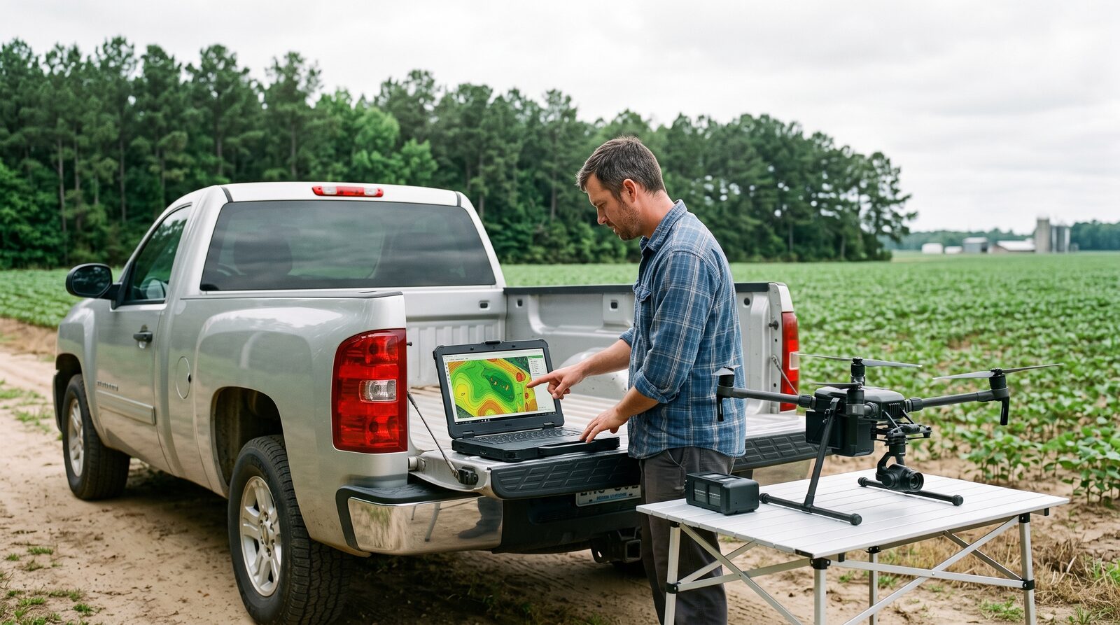
Most ag drone operators juggle a flight app, a processing service, a GIS package and a spreadsheet. Lavarient collapses that into one workflow built around the questions a grower or consultant actually asks.
Plan
Field boundaries in, flight plan out. Altitude, overlap and sensor settings set per crop and product.
Process
Orthomosaic, elevation and index products generated in our pipeline. No per-map upload fees.
Analyze
Stand counts, zone maps, change detection and timber metrics with agronomy-aware defaults.
Prescribe and export
Variable-rate and spot-spray prescriptions as shapefile and ISOXML. Exports to the farm management systems growers already run.
Who it is for
Operators, consultants and dealers who fly allied-made aircraft.
The software is built first for our own crews and the Lavarient dealer network, then for independent Part 107 and Part 137 operators who need a processing and prescription stack that does not depend on a foreign flight app. Sensor and analytics vendors can integrate through our technology partner program.
Grower-owned data with export at any time
Runs with US and allied aircraft and sensors
Fleet, compliance and Remote ID records in one place
Prescription formats for common sprayers and spreaders
Status
Pipeline MVP now. Version 1 for the 2027 season.
The processing pipeline is in use on our own mapping jobs today. The planning and prescription layers ship to dealers and pilot customers through the 2027 season. Early access goes to partners who join now.
Next step
Want early access or an integration?
Technology partners and dealers get the software first. Tell us what you fly and what you need it to export.