What does Lavarient USA do?
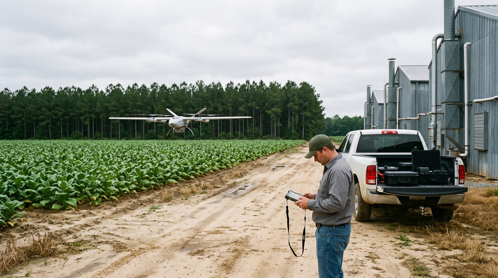
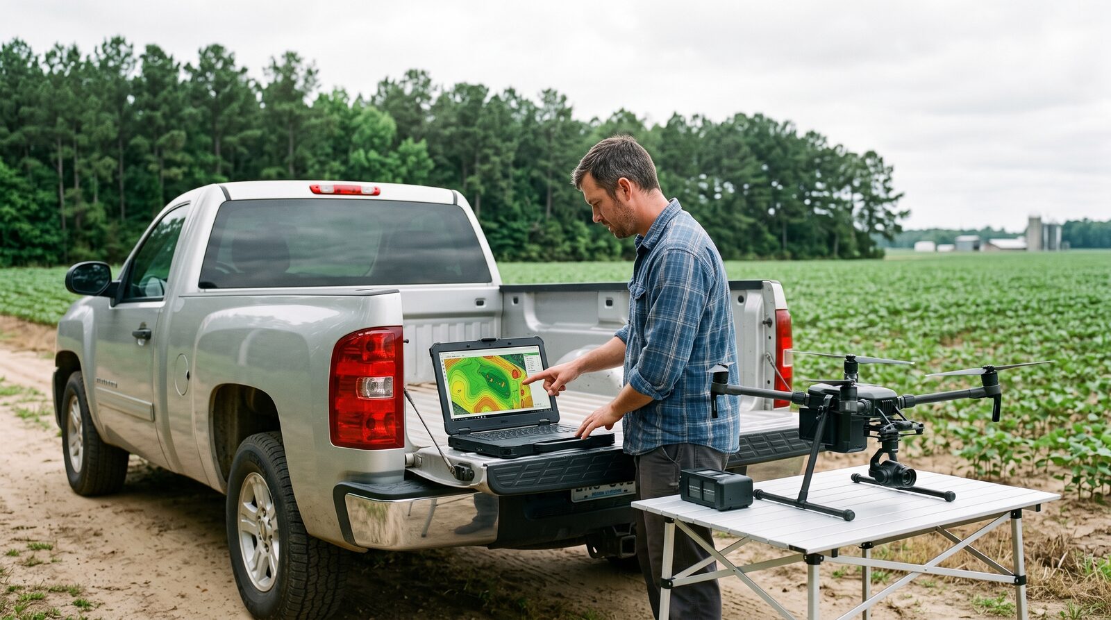
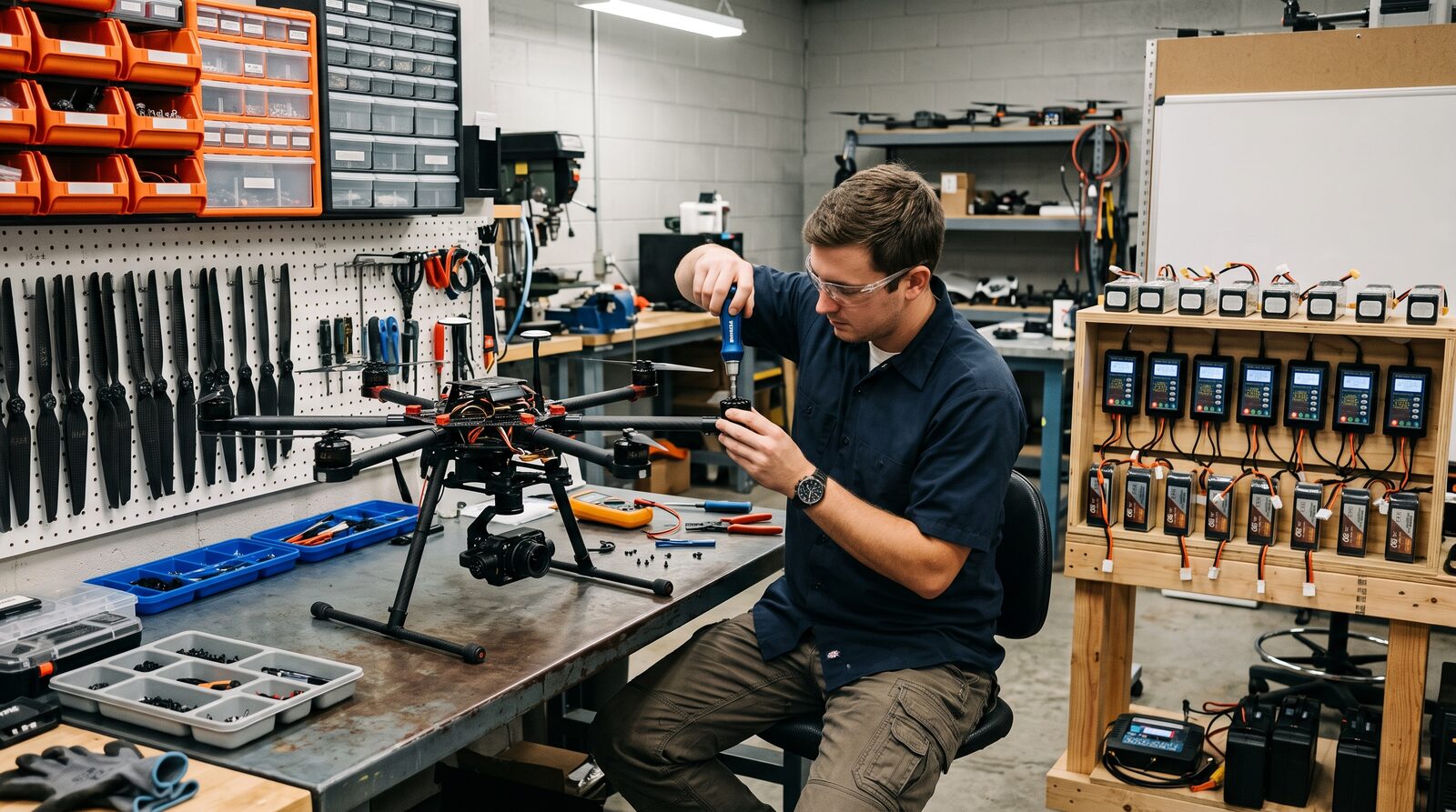
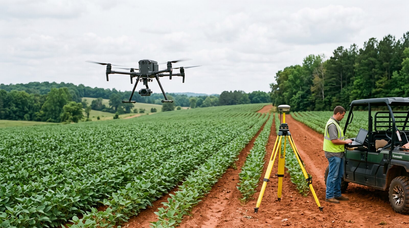
Lavarient USA, Inc. is an agricultural and natural resource drone company in Mooresville, North Carolina. We fly Part 107 mapping work for growers, foresters and land managers, build the software that turns a flight into a map and a prescription, distribute and service allied-made aircraft and sensors through a Carolinas dealer network, and are assembling our own commercial mapping airframe from partner-sourced components.
Where is Lavarient based and where do you work?
Our office and service bench are at 500 S Main St, Suite 409, Mooresville, NC 28115. Field services and the dealer network cover North Carolina and South Carolina first. Supplier and technology partners come from anywhere in the United States and allied countries.
Is Lavarient a DJI dealer?
No. Since December 22, 2025 the FCC Covered List blocks new foreign-made drones and critical components from the US market. Lavarient distributes aircraft and sensors from US and allied manufacturers and is building a US-assembled commercial mapping airframe to fill the gap that decision created.
Who should apply to the partner programs?
Three groups. Component suppliers of motors, ESCs, batteries, flight controllers, GNSS and RTK modules, gimbals, radios, composites and application hardware. Sensor and software firms with multispectral, thermal, LiDAR, photogrammetry, agronomic analytics or farm management integrations. Dealers and service partners such as ag retailers, co-ops, crop consultants, licensed applicators, Part 137 operators and repair shops.
Do components need to be NDAA compliant?
Not for the Lavarient commercial platform, which is designed for civil agriculture and land management. Allied-country origin is preferred because of the FCC Covered List. NDAA-compliant and defense variants are handled by our affiliate Sentinel Precision, Inc.
Does Lavarient fly for growers today?
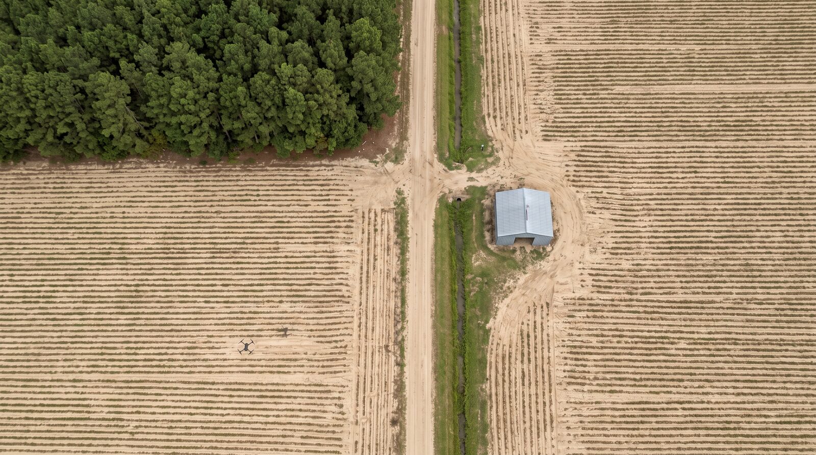
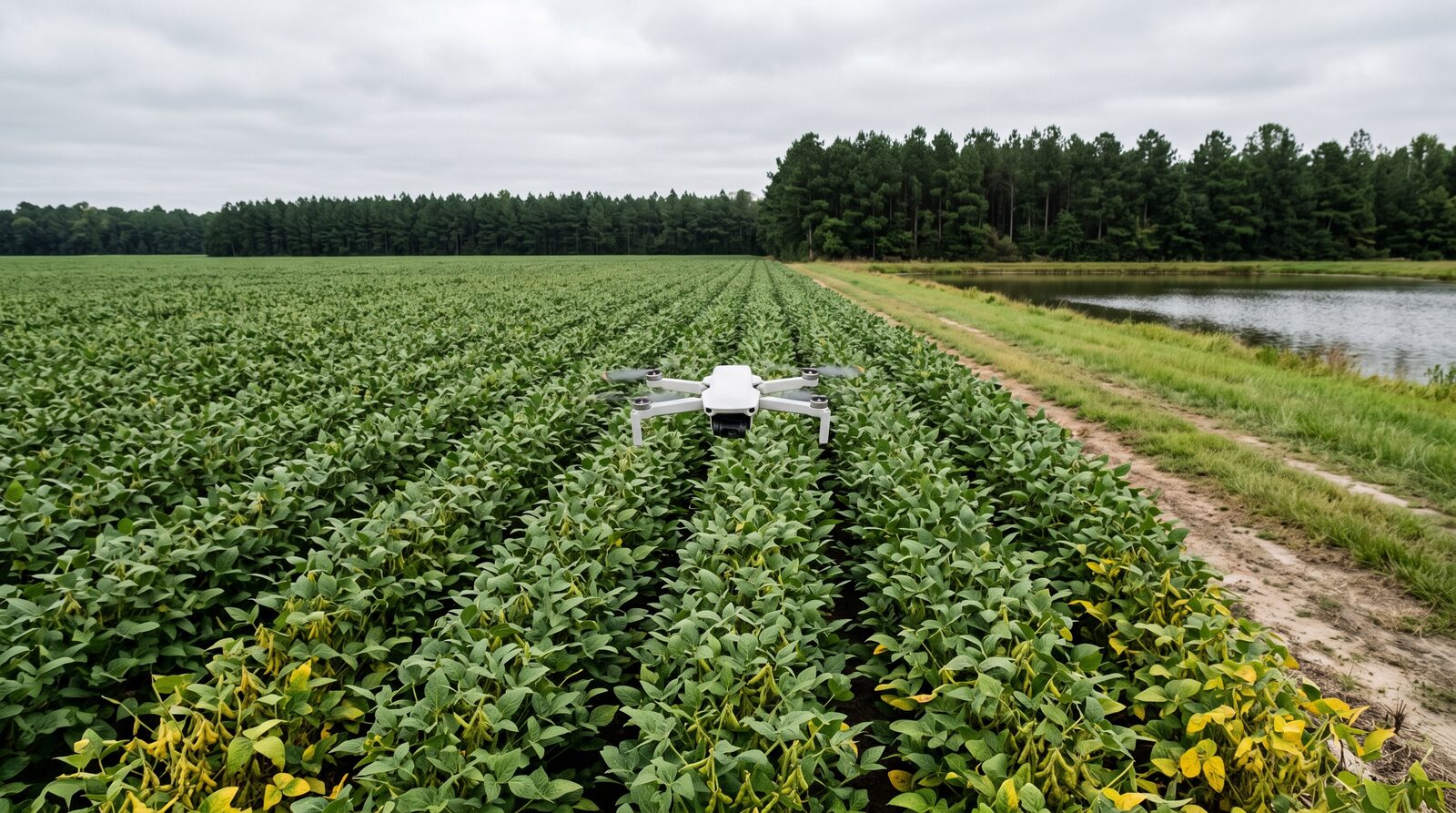
Yes, Part 107 mapping: orthomosaics, vegetation index maps, stand counts, weed and disease pressure, drainage, timber inventory, reclamation monitoring and stockpile volumetrics. Spray and application services follow once our Part 137 certificate and NCDA&CS aerial applicator license are in hand.
How do I reach Lavarient?
Use the partner form on this page. It routes to the right person and we reply within two business days. We do not publish an email address, which keeps the inbox clear of automated spam.