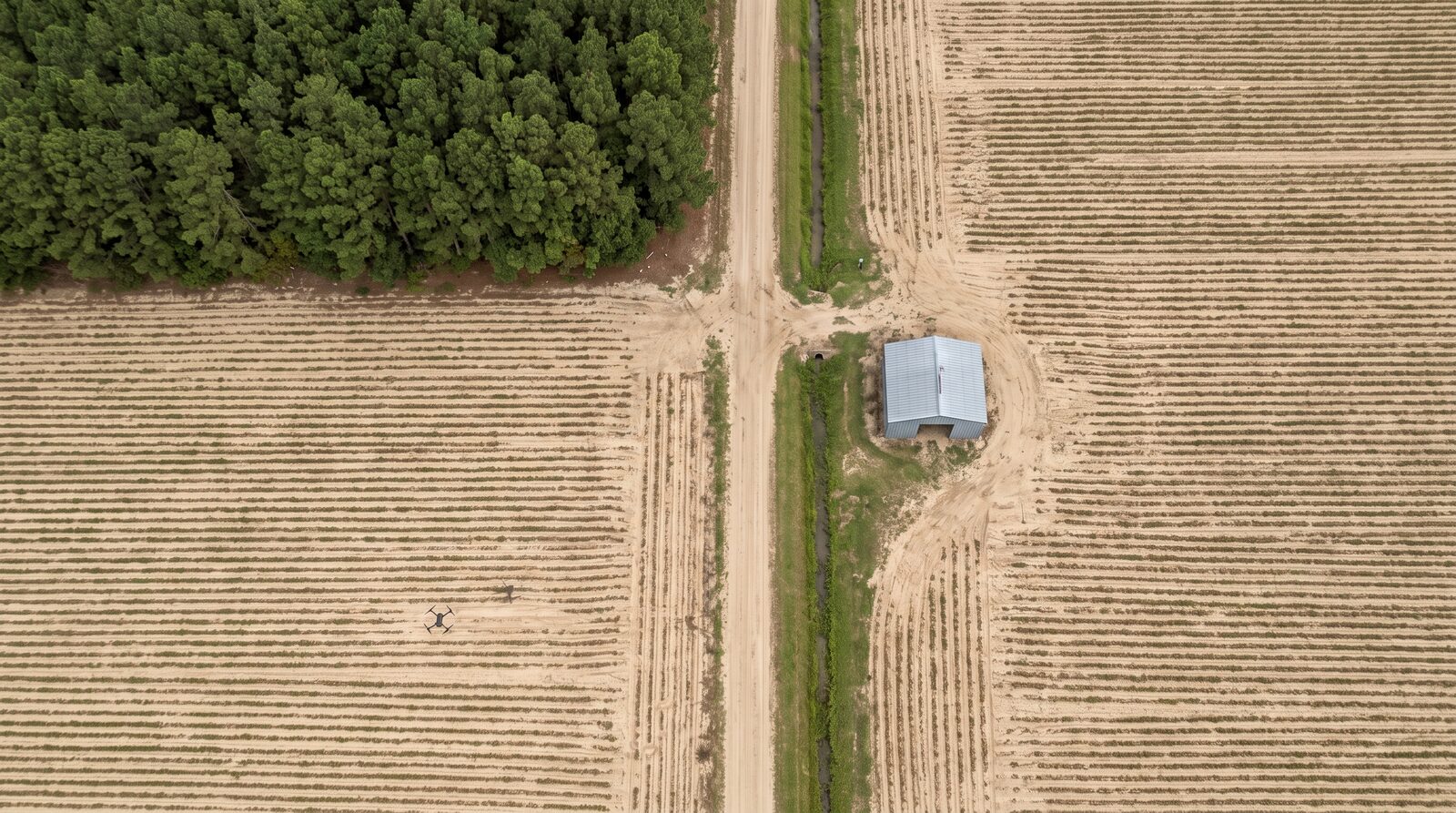
Part 107 mapping flights for growers, foresters, land managers and mine operators. Flat-light orthomosaics, index maps and counts you can act on the same week.
Six mapping products. One crew. Same-week turnaround.
Every job starts with a flight plan matched to the crop, the canopy and the question you need answered. Processing runs in our own pipeline. You get the map, the numbers and a short readout.
Orthomosaic and elevation
Georeferenced RGB mosaic with a digital surface model. The base layer for every other product.
Vegetation index maps
NDVI, NDRE and custom indices from multispectral sensors. Flags stress zones before they show from the road.
Stand counts
Emergence and plant population per acre for corn, soybeans, peanuts and tobacco. Replant decisions in days, not weeks.
Weed and disease pressure
Zone maps that feed a spot-spray prescription. Less product, fewer passes.
Drainage and water
Low spots, ponding and ditch condition from elevation data after a rain.
Timber, mines and stockpiles
Timber inventory and health on pine plantations. Reclamation monitoring and stockpile volumetrics for aggregate and mining sites.
Crops and ground we know
Flue-cured tobacco, peanuts, corn, soybeans and loblolly pine.
Our flight profiles and processing settings are tuned to Coastal Plain and Piedmont crops. We fly from the row end, not from an office in another state. Service area is North Carolina and South Carolina first, with travel beyond for larger programs.
Corn: V4 to V6 stand counts, nitrogen stress, lodging
Soybeans: canopy closure, pod fill, weed escapes
Pine: survival counts, density, beetle and storm damage
Mining and construction: volumes, reclamation, haul road condition
How it works
Scope, fly, process, deliver.
Send the field boundaries and the question. We quote per acre with a minimum per visit. Flights happen in flat light or under overcast where the sensor allows. Deliverables arrive as GeoTIFF, shapefile and PDF, and load into the farm management systems most growers already use. Spray and application services follow once our Part 137 certificate and NCDA&CS aerial applicator license are in hand. See our software for what happens to the data after the flight.
Next step
Need a field mapped this season?
Use the partner form, pick “Dealer and service partner” or describe the job in the notes, and we will reply within two business days with a per-acre quote.